What Satellites Reveal About Indonesia's Changing Coast

Indonesia's coastline is among the most dynamic parts of the country. Erosion, sedimentation, coastal development, and tectonic activity all reshape it, and those shifts reach the communities that live along the shore. Piksel offers coastline-change analysis that lets users trace this movement over time, measured against decades of satellite data.
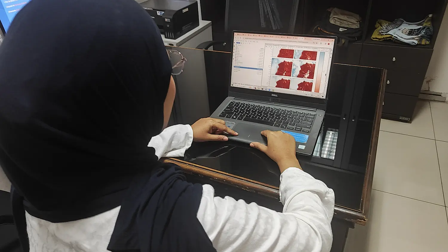
The analysis draws on the Landsat archive, which reaches back to 1984 and runs through 2025. To pin down the coastline more precisely, the imagery is corrected with the Ina-Tides tidal model, which accounts for the sea level at the moment each scene was captured. Land and water are then separated using the Combined Water Index, which pairs the Modified Normalized Difference Water Index (MNDWI) with the Near Infrared (NIR) band to tell the two apart more reliably.
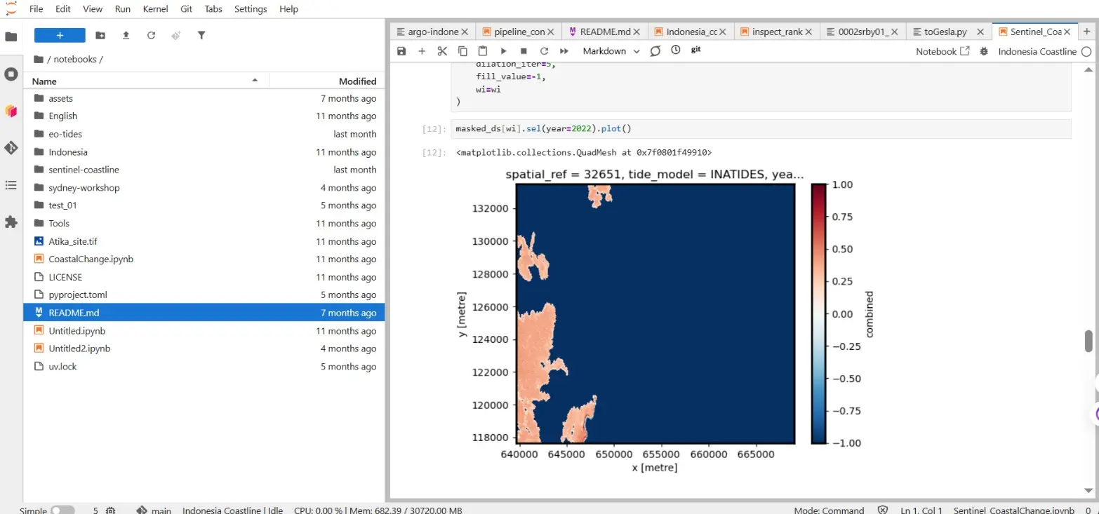
Those four decades of data bring several benefits for coastal management. Beyond tracking the coastline shifts that affect coastal communities directly, the record makes it possible to measure how fast the shoreline is moving. The analysis has even picked up coastline changes tied to the 2004–2005 Aceh–Nias megathrust earthquakes, which reshaped the shore across several affected areas.
The work is not without its difficulties. Indonesia's waters vary so widely that no single algorithm fits every stretch of coast. Delineation can also go wrong over aquaculture ponds, pools, or lakes, which look spectrally similar to seawater. Choosing an algorithm that suits local conditions is therefore central to producing coastline data accurate and reliable enough to base decisions on.