·2 min read
Turning Thousands of Satellite Images into a Cloud-Free Map of Indonesia
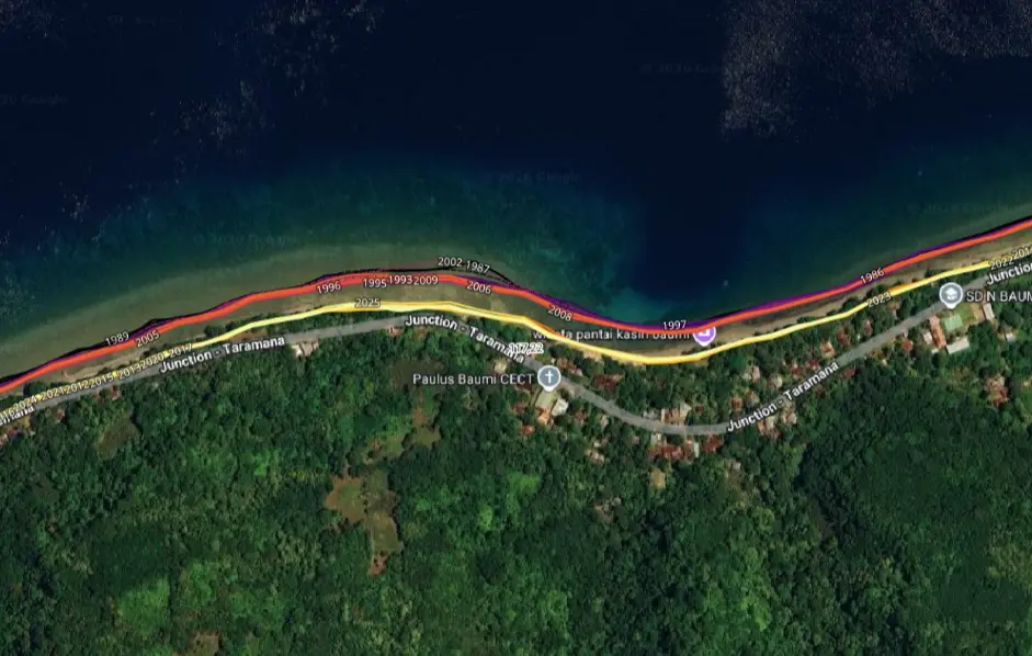
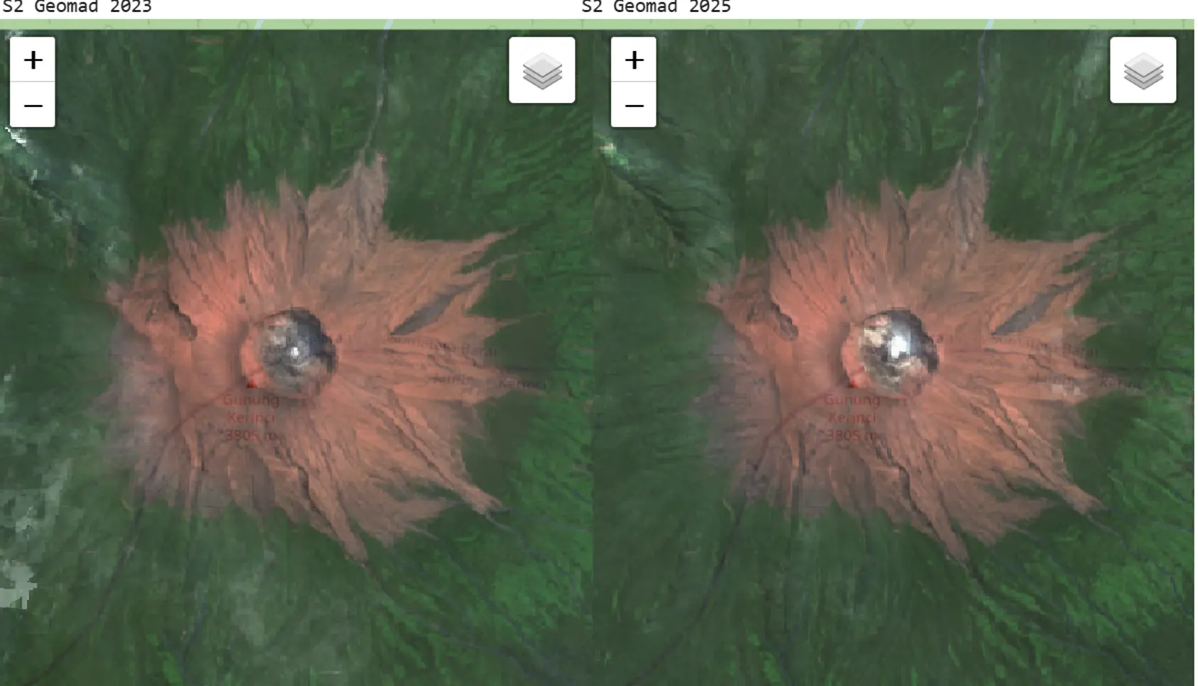
Much of Indonesia sits under heavy cloud cover, which makes analysis from satellite imagery difficult. GeoMAD was built to get around that. It is a composite image derived from the median pixel value of satellite scenes over a set period, an approach that cuts through the cloud and yields a more consistent picture of the land surface. That makes it a valuable source for multi-temporal analysis, from tracking land-cover change to studying regional development and the environment.