Turning Thousands of Satellite Images into a Cloud-Free Map of Indonesia

Much of Indonesia sits under heavy cloud cover, which makes analysis from satellite imagery difficult. GeoMAD was built to get around that. It is a composite image derived from the median pixel value of satellite scenes over a set period, an approach that cuts through the cloud and yields a more consistent picture of the land surface. That makes it a valuable source for multi-temporal analysis, from tracking land-cover change to studying regional development and the environment.
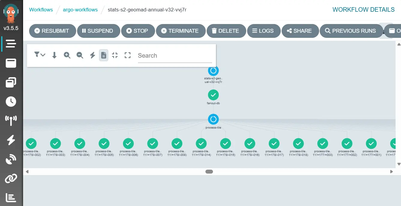
So far, Piksel has produced GeoMAD for all of Indonesia using Sentinel-2 data from 2021 to 2025. Wahyu Lazuardi explained that the processing splits the country into 1,631 tiles of 6 km × 6 km. Working tile by tile lets the data be processed in parallel, so an enormous volume moves through in a relatively short time.
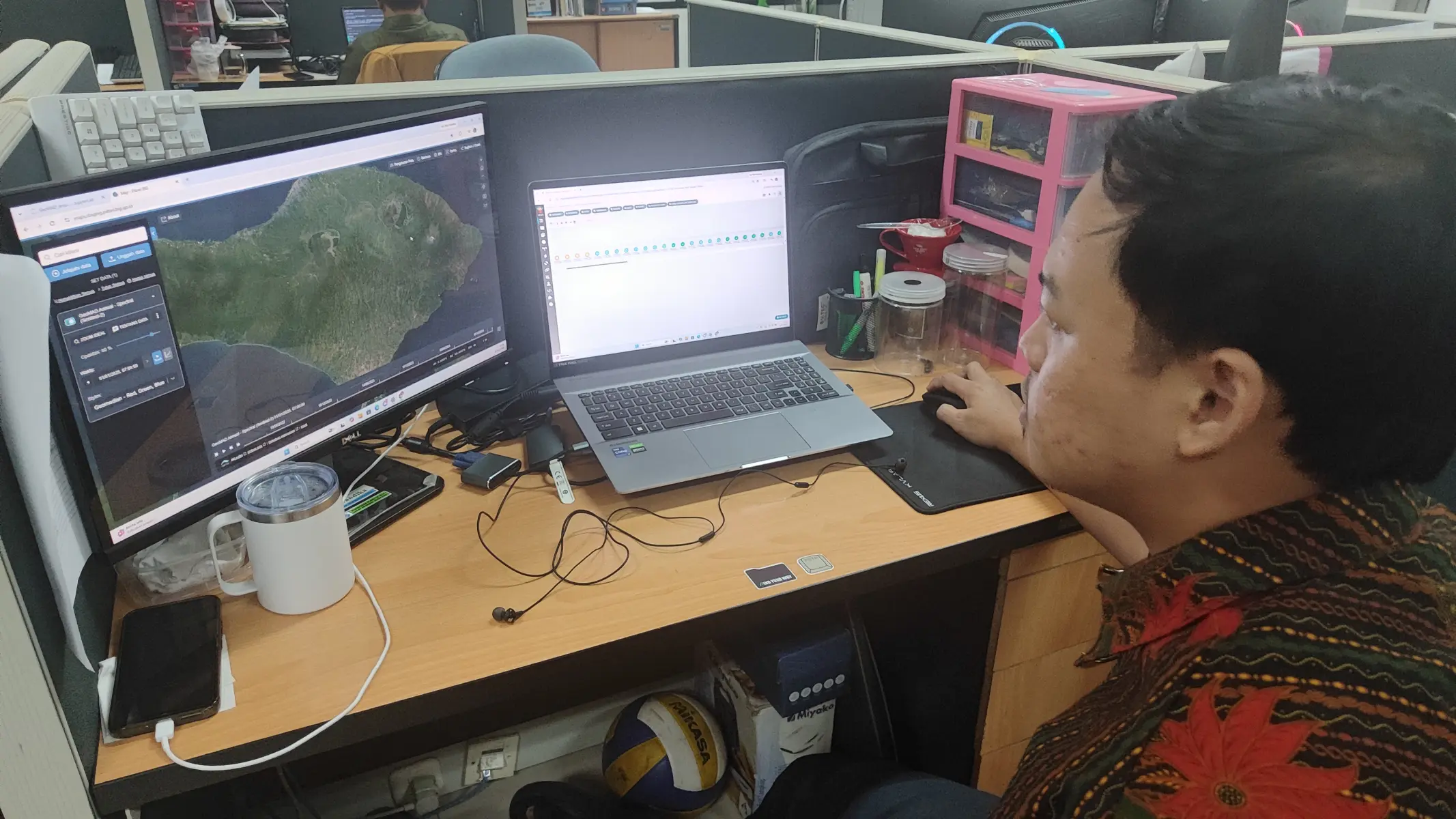
The whole GeoMAD pipeline runs on Argo Workflows across cloud infrastructure, drawing on more than 250 CPUs and 2.5 TB of memory. With that much compute behind it, a full year of national coverage takes about three days to produce. That efficiency means the product can be refreshed regularly to support a range of geospatial analysis needs.
Challenges remain. Good data is hard to come by where cloud sits almost permanently, particularly over mountainous terrain. Getting the cloud masking configured well is essential for high-quality imagery, and the compute has to be tuned carefully so national-scale processing stays fast and dependable. These are the problems the team keeps working on to improve GeoMAD's quality and usefulness for Indonesia's geospatial data users.