Training the Next Generation of Geospatial Talent Through BIG's Internship Program
To strengthen Indonesia's geospatial ecosystem, BIG keeps building partnerships with universities working on geospatial technology. One of those partnerships is an internship, and this round brought in three geodetic engineering students from Universitas Diponegoro (UNDIP). Over two months, starting 29 June 2026, they worked directly with satellite data and the latest geospatial tools.
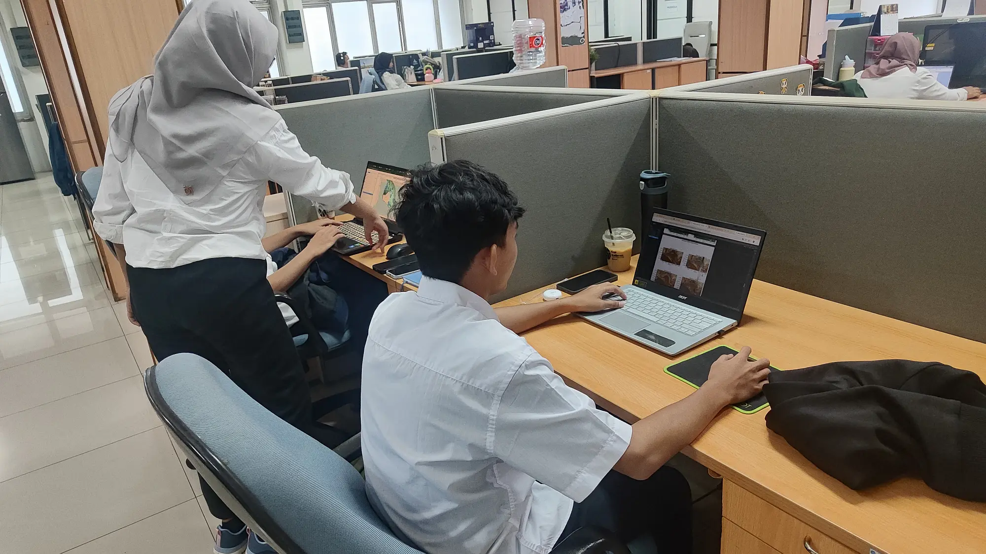
The students took on research topics tied to real needs in natural resource and environmental management: mapping coral reef distribution, detecting oil spills, and running spatio-temporal analysis of mangroves. Sentinel-1 data drove the oil spill detection, while Sentinel-2 supported the coral reef and mangrove work. The projects had them not just learning the theory but applying it to real-world case studies.
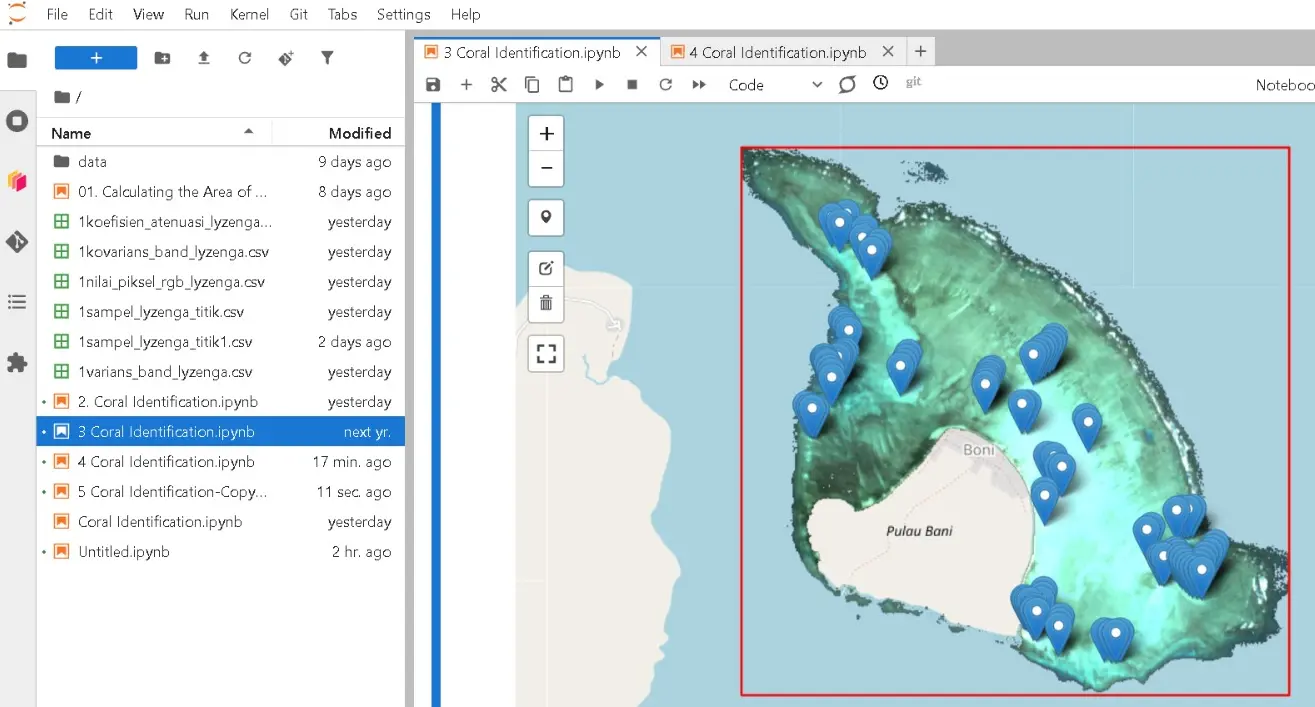
Along the way, the interns got hands-on with cloud-based geospatial processing on Piksel. Laili Nisa found the platform easy to use and much like working in Google Colab. Arva Akhadi explained that before touching the data, they first learned Python as their main tool for analysis; AI, he added, helped a great deal with writing code, though the output still had to be checked for accuracy.
The learning came with its share of obstacles. Nur Afrizal noted that the kernel would sometimes restart mid-processing. The issue was raised with BIG's technical staff, who have since acted on it to improve the service. Through the program, the interns hope to sharpen their geospatial analysis skills and gain practical experience that will serve them in their careers.