From satellite data to
ready-to-use information
for Indonesia.
An open platform for exploring and analysing change with analysis-ready satellite data, without downloading or preparing data from scratch.
Inspect every service, before you commit.
Six connected services. Choose one to see its interface, capabilities and available endpoint.
Data Explorer
Explore and access geospatial data available on our platform freely.
- F·01Multi-sensor archive — Sentinel-1, Sentinel-2, Landsat
- F·02Tile-aware filtering by AOI, date, cloud cover
- F·03Metadata available in text, STAC and ODC YAML formats
- Capability
- Browse & filter
- Interface
- Web UI
- Prerequisite
- None
- Access
- Public
- Update
- Daily indexing

Piksel in the Field.
Six operational use cases — each card shows the earth observation product, the sensor used, and how often the data is refreshed.
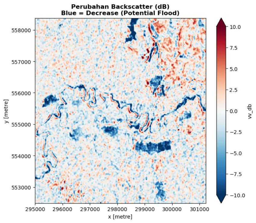
Flood-affected Area Identification
Tropical cyclone Senyar brought heavy rainfall to Southeast Asia starting November 2025. Sentinel-1 radar imagery is used to detect flood inundation based on backscatter change between pre-flood and flood scenes.
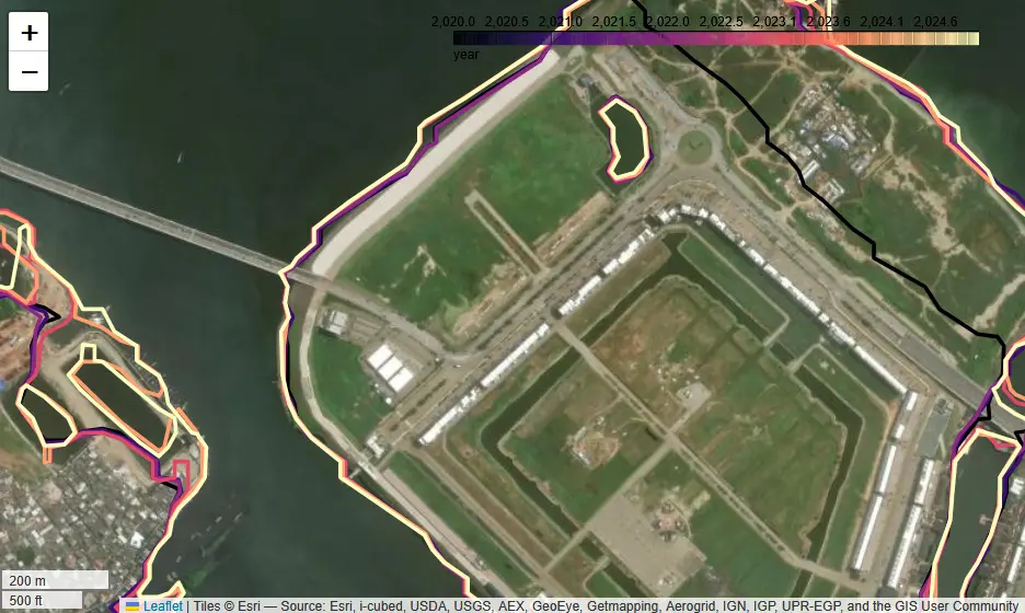
Coastline Change
Analysis of coastline change using multi-temporal Landsat imagery and a tidal model, with a case study on Jakarta's north coast.
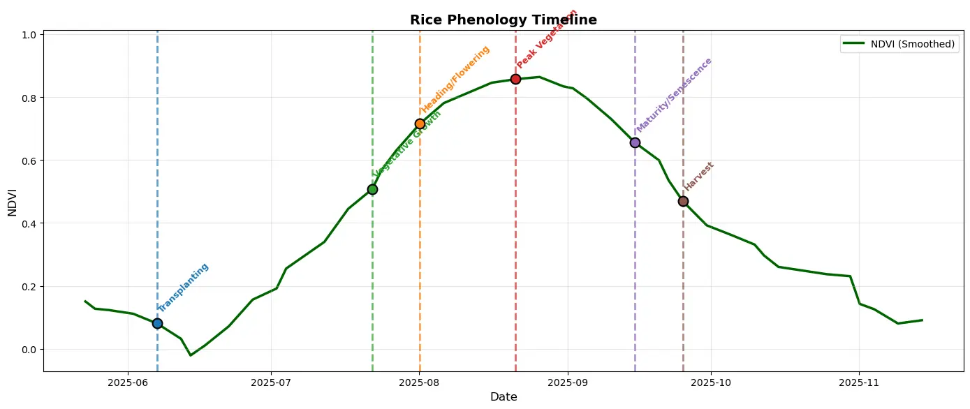
Rice Planting Monitoring
Sentinel-2 data used to monitor annual rice growth via NDVI, LSWI, EVI, and NDRE indices, producing phenology maps, harvest estimates, and a monitoring dashboard for Telagasari.
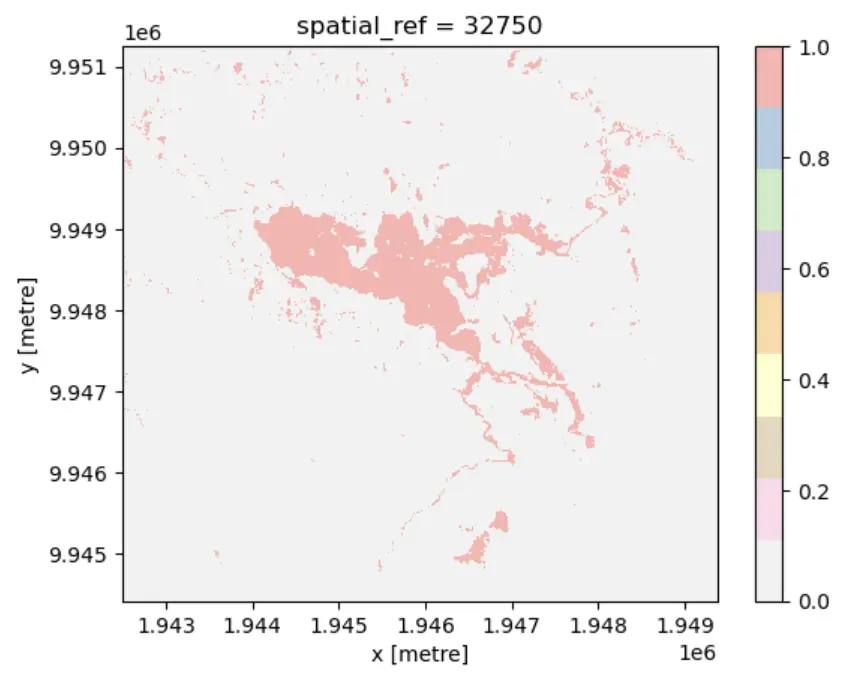
Mining Area Calculation
Using the Bare Soil Index (BSI) method to compute the extent of the nickel mining area on Gag Island, Raja Ampat, based on bare-soil identification.
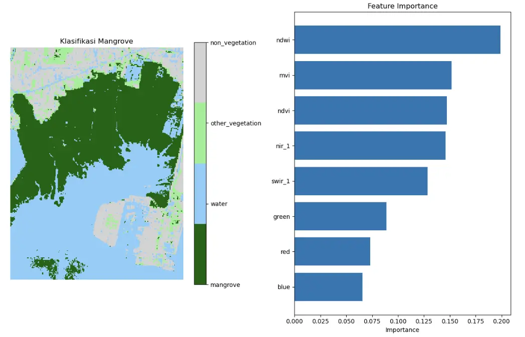
Mangrove Classification with Machine Learning
Sentinel-2 data combined with a Random Forest classifier to delineate mangroves via spectral indices, with a case study south of Denpasar, Bali.
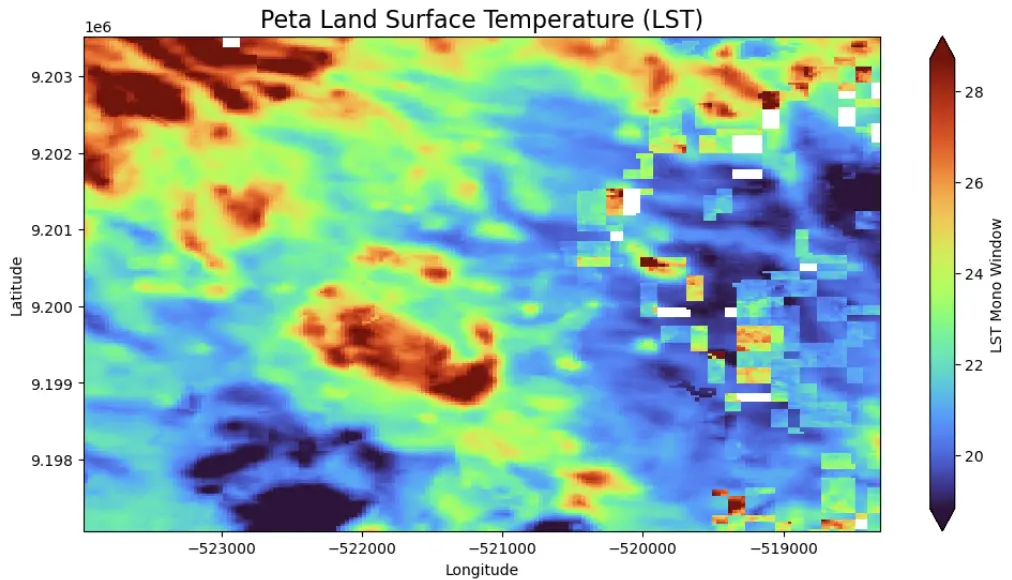
PLTP Surface Temperature Monitoring
NDVI and Land Surface Temperature (LST) used to analyse surface temperature and geothermal plant activity, with a case study at Kamojang, West Java.
Latest Information
Latest news, articles, and updates about the Piksel platform and digital earth observation.
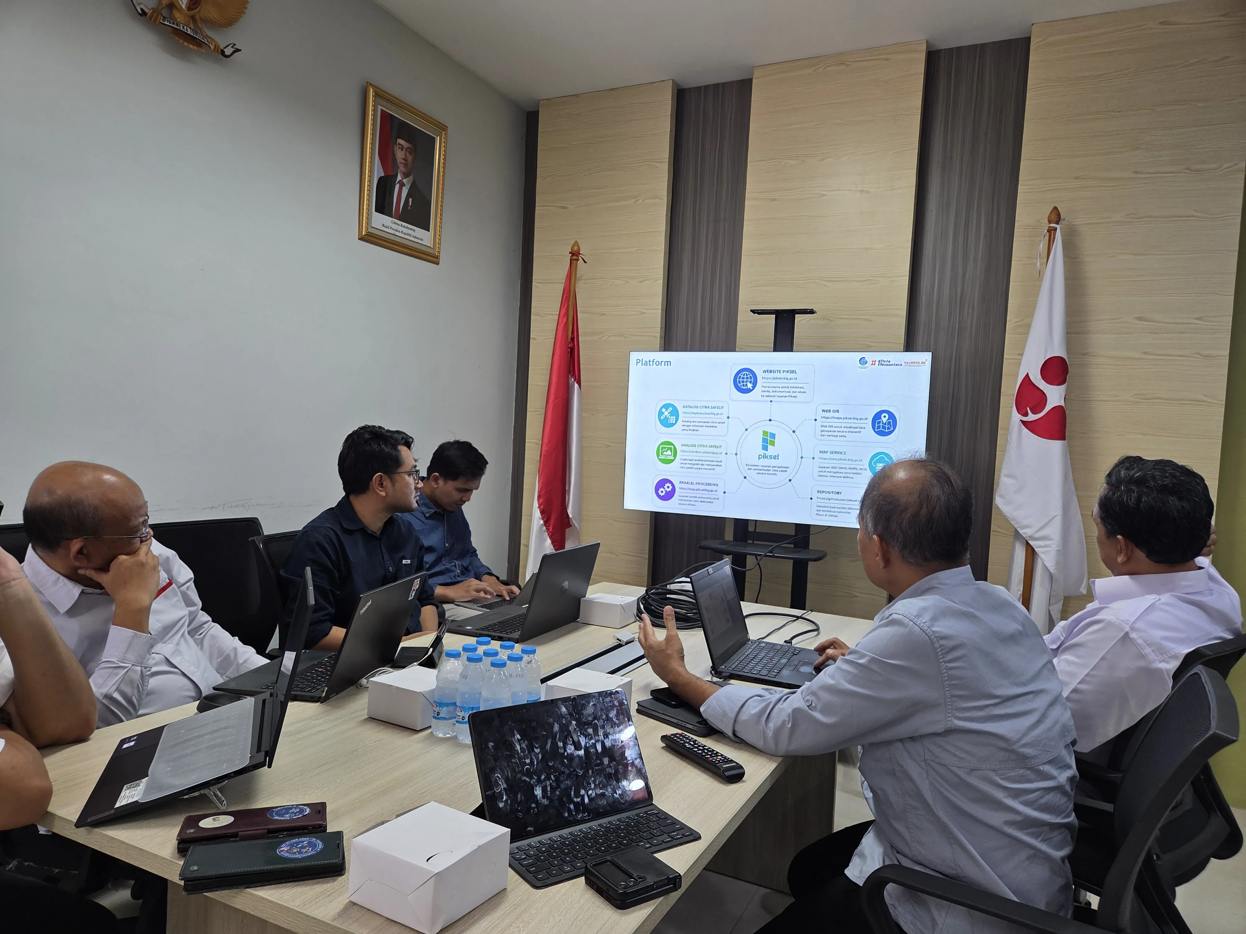
BIG and BRIN Discuss Opportunities for Collaboration Between Piksel and GEOMIMO
BIG's Directorate of Thematic Mapping and BRIN's Geoinformatics Research Center discussed opportunities for collaboration between the Piksel and GEOMIMO applications to strengthen the use of geospatial technology in support of national development policy and research.
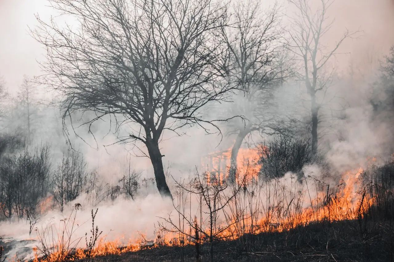
From Hotspots to Burn Scars: Reading the Changes at Bromo
Piksel uses VIIRS and Sentinel-2 data to trace the timing, location, and progression of the Bromo fire, as well as surface changes before and after the event. This satellite data integration supports spatio-temporal analysis for fire monitoring and impact assessment.
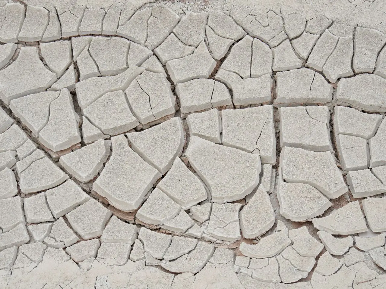
Reading the Barito River's Retreat in the Dry Season
Drought has been affecting parts of Indonesia. The Barito River has seen a significant drop in water levels. Piksel was used to detect and track those changes.
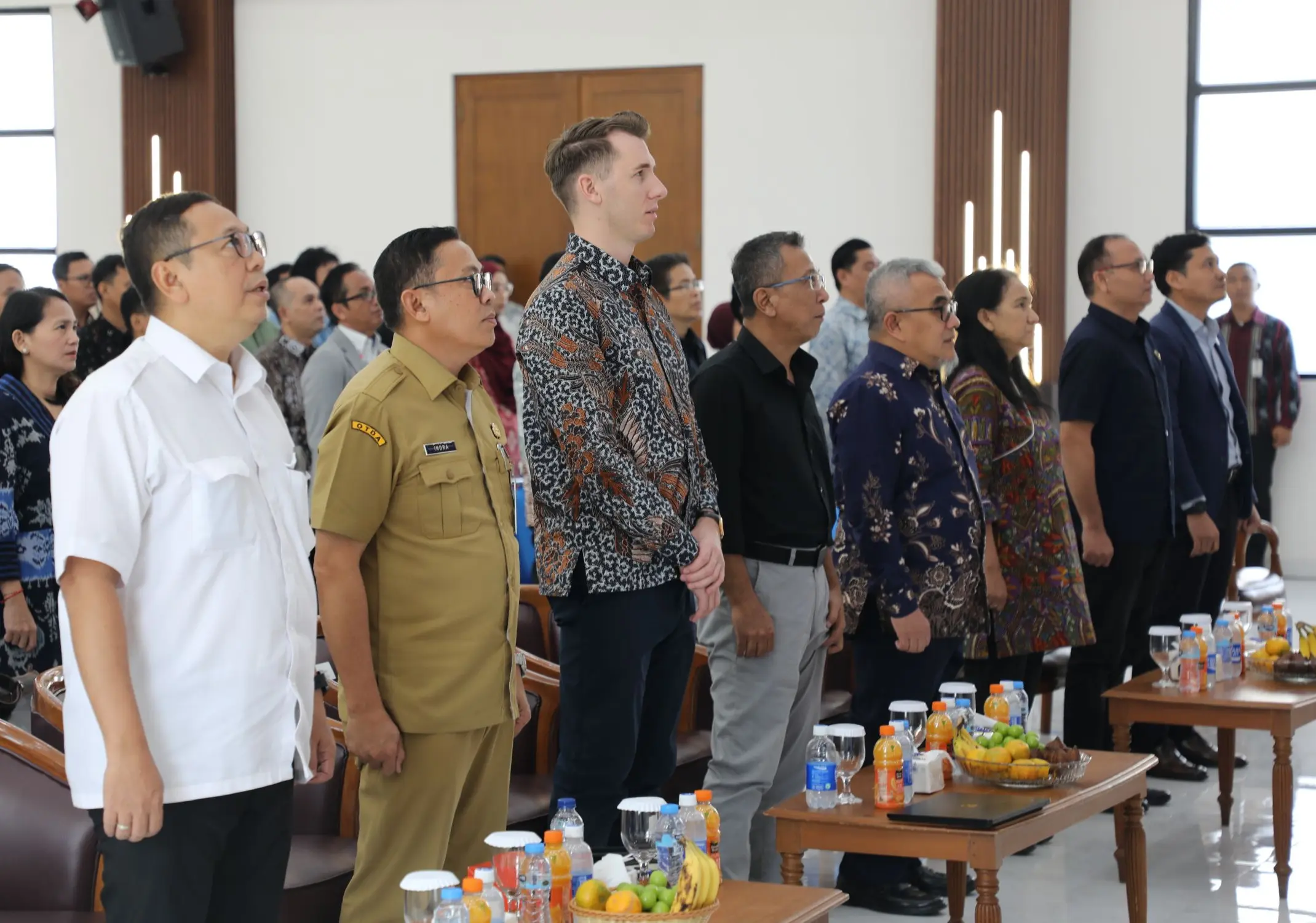
Piksel Launch: A National Platform for Integrated Satellite Imagery Processing
Piksel was launched on August 18, 2026. The platform supports large-scale use of satellite imagery through integrated remote sensing data processing and analysis.
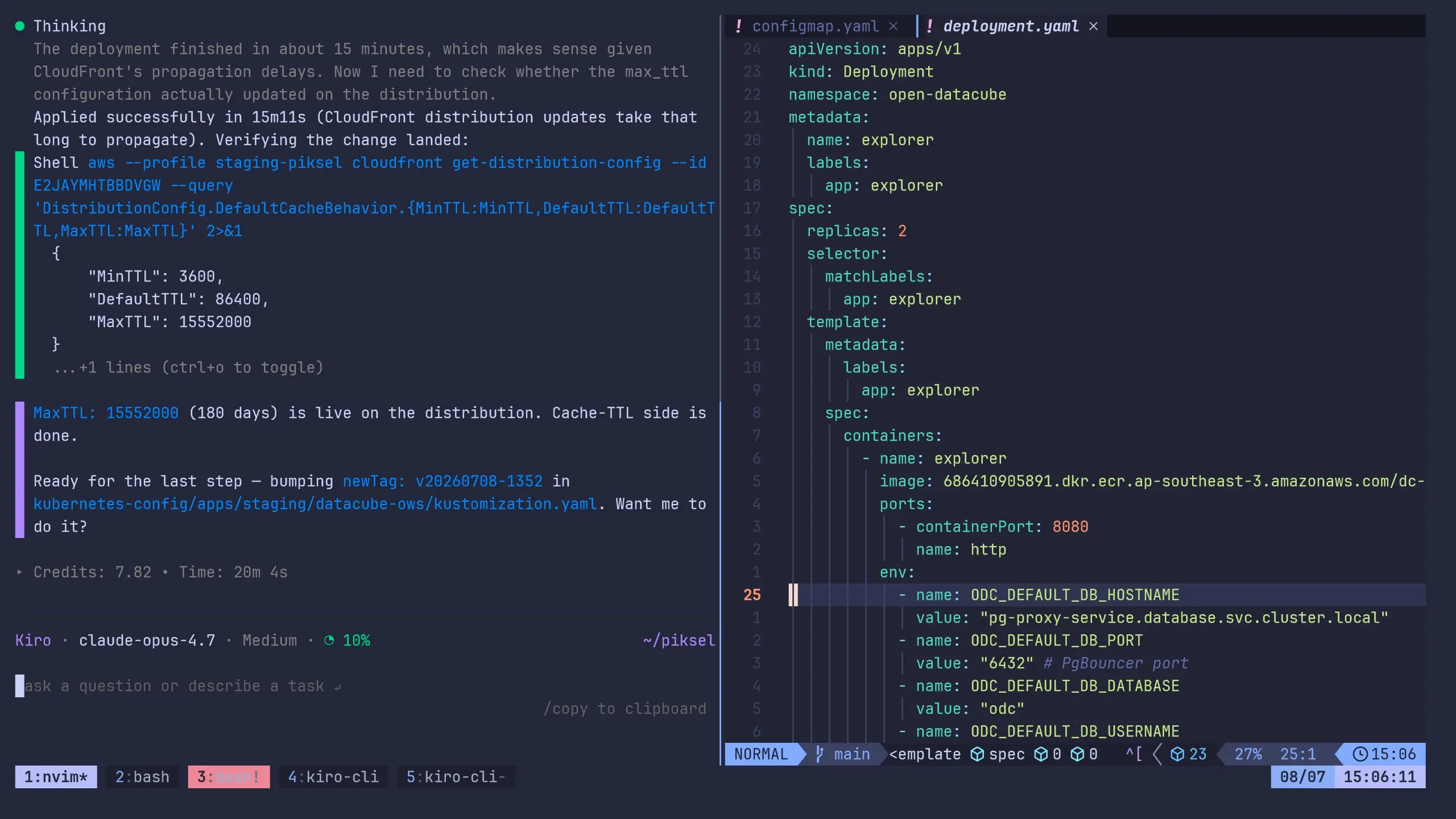
Working with AI Agents to Advance Piksel
Over the past few months, the Piksel team has started using AI agents to speed up building the platform, from developing applications to processing satellite imagery. The direction and quality of the work still rest with the people behind it.
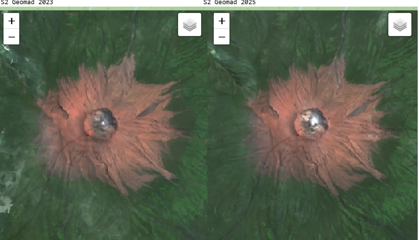
Turning Thousands of Satellite Images into a Cloud-Free Map of Indonesia
Thousands of satellite images are processed into a cloud-free map that shows Indonesia's surface more clearly and consistently, supporting analysis, regional monitoring, and decisions grounded in accurate data.