Interactive Map
Piksel Map is a web map viewer for discovering, visualising, comparing, and sharing Piksel geospatial data. No specialised GIS software is required.
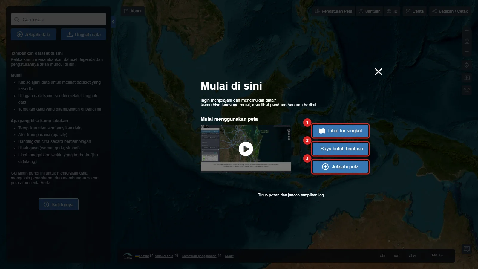
Start using the map
Open Piksel Map to follow this guide.
Get to know the interface
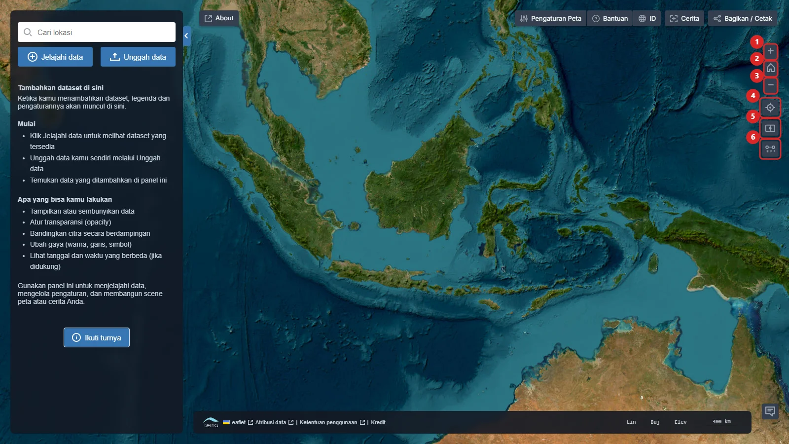
After closing the welcome message, you will see the Workbench on the left, the map view in the centre, and application controls at the top and right.
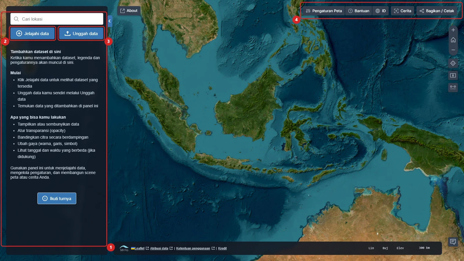
- The Workbench lists added layers and their settings.
- Explore map data opens the Piksel data catalogue.
- Upload data adds data from your computer or a URL.
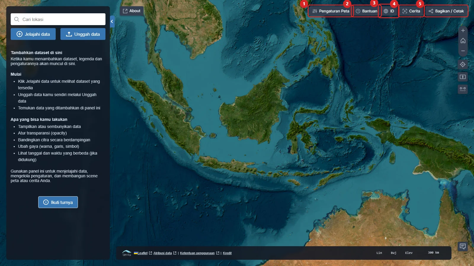
- The top bar contains map settings, help, language selection, Stories, and Share / Print.
Basic navigation
Use the mouse wheel or the + and − buttons to zoom. Drag the map to move around. The right-side controls also reset zoom, centre on your location, compare layers, and measure lines.
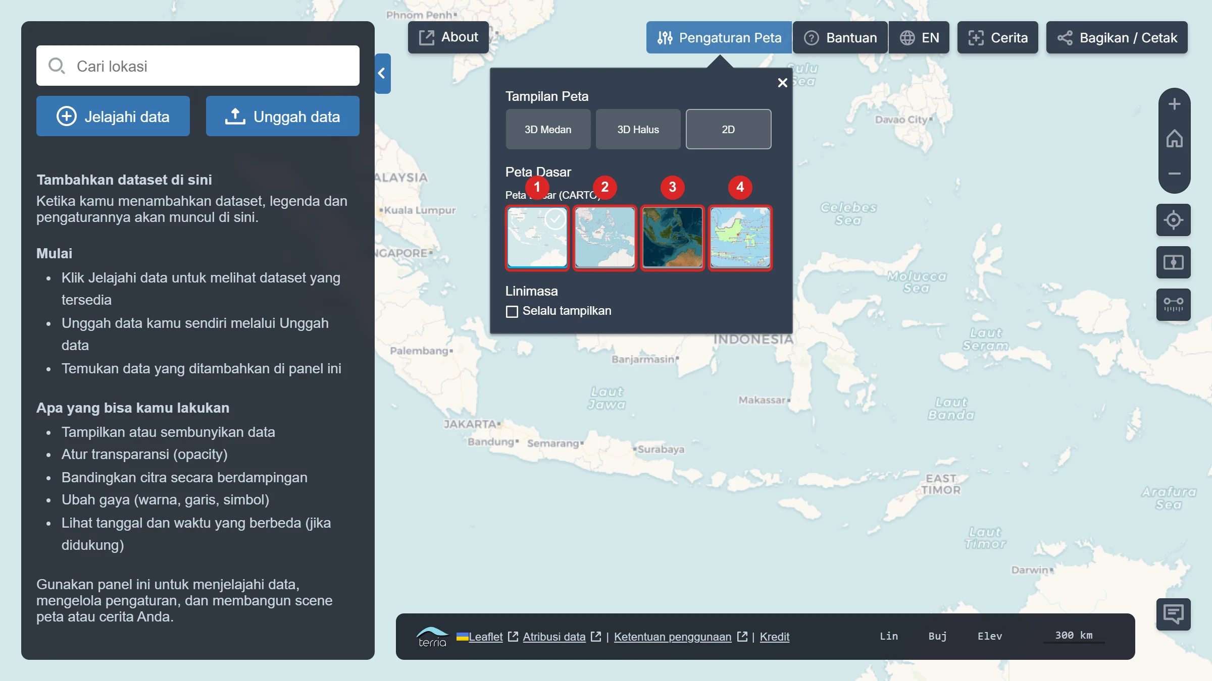
Change the basemap
Open Map Settings to select 2D or 3D view and change the basemap. Basemap choices include CARTO, OpenStreetMap, ESRI World Imagery, and Rupabumi Indonesia (BIG).