Technical Earth Observation Workshop at the University of Sydney Using the Piksel Platform
BIG staff spent the week of 9–13 February 2026 at the University of Sydney learning to process satellite imagery on the Piksel platform. The Technical Earth Observation Workshop was run with Geoscience Australia (GA), which brought in the expert developers behind Digital Earth Australia.
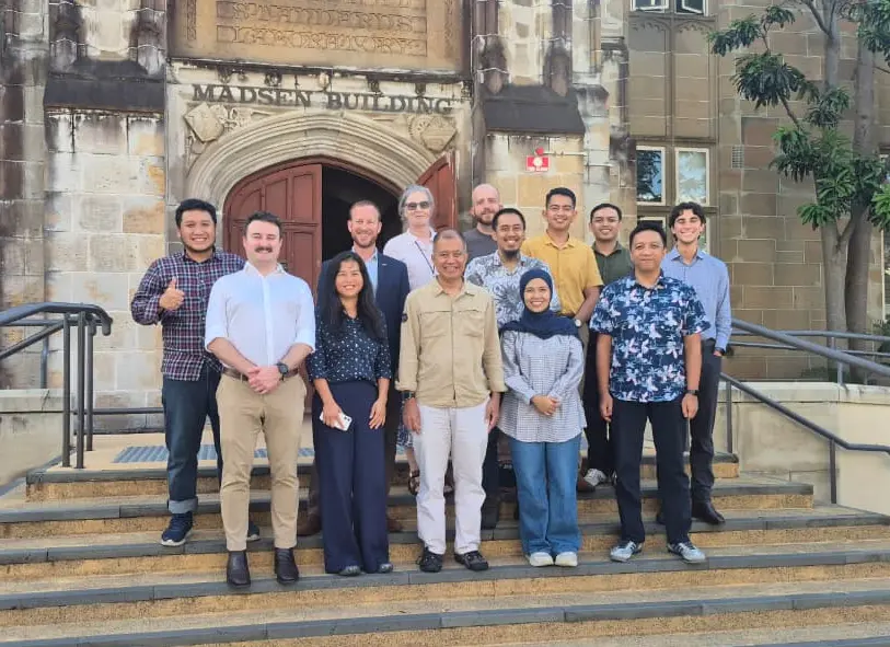
Seven staff attended from BIG's Directorate of Thematic Mapping (DPT) and its Directorate of Marine and Coastal Topographic Mapping (DPRWLP). The workshop followed on from the Memorandum of Understanding between BIG and GA under the Marine Resources Initiative (MRI), with the University of Sydney facilitating and hosting the event.
Gatot Pramono, Director of Thematic Mapping at BIG, thanked GA and the University of Sydney for their hospitality and collaboration, and for the knowledge and experience shared over the week. Matthew Ellis of GA stressed that the partnership does more than strengthen ties between the two countries; it also makes a tangible contribution to tackling global pressures such as the climate crisis and environmental degradation.
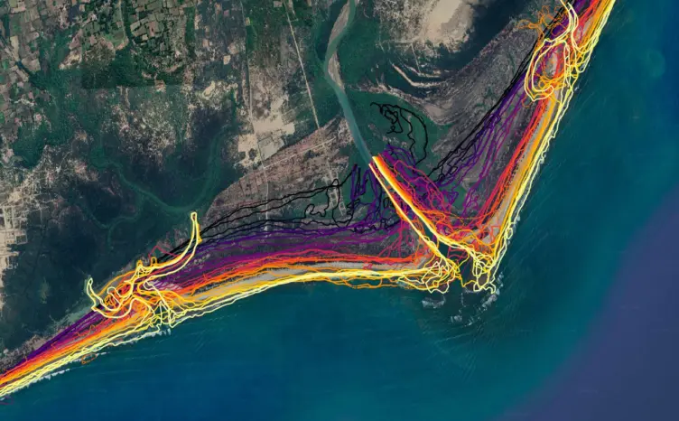
The week was built around hands-on training on the Piksel platform, and it produced two main results: a cloud-free GeoMAD image of Indonesia from Sentinel-2, and a multi-year coastline dataset from Landsat. Both give BIG a foundation for derived products such as land-cover maps and disaster analysis. BIG and GA plan to keep strengthening the collaboration to produce thematic-mapping innovations that support how Indonesia manages its territory and natural resources.