2 posts tagged with "piksel"

View all tags
·2 min read

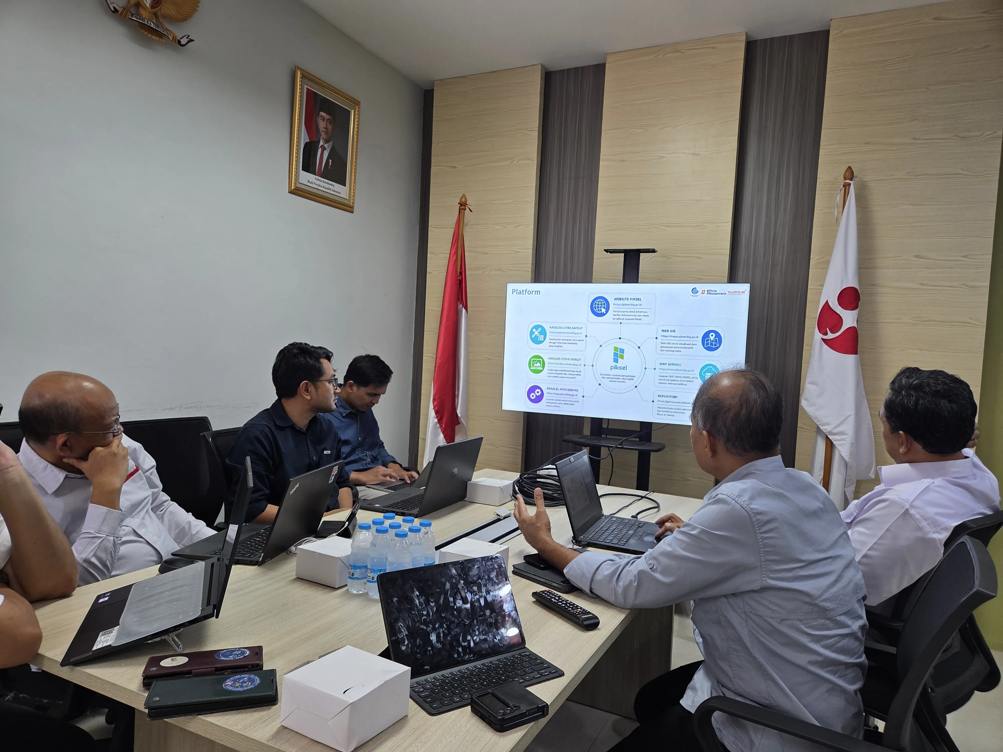
BIG and BRIN Discuss Opportunities for Collaboration Between Piksel and GEOMIMO

The Directorate of Thematic Mapping, Geospatial Information Agency (BIG) attended a meeting with the Geoinformatics Research Center, National Research and Innovation Agency (BRIN) on Wednesday, August 26, 2026. The meeting discussed opportunities for collaboration in the use of two satellite imagery-based applications — Piksel from BIG and GEOMIMO from BRIN — with the aim of strengthening the use of geospatial technology to support national development policy and research.
·2 min read

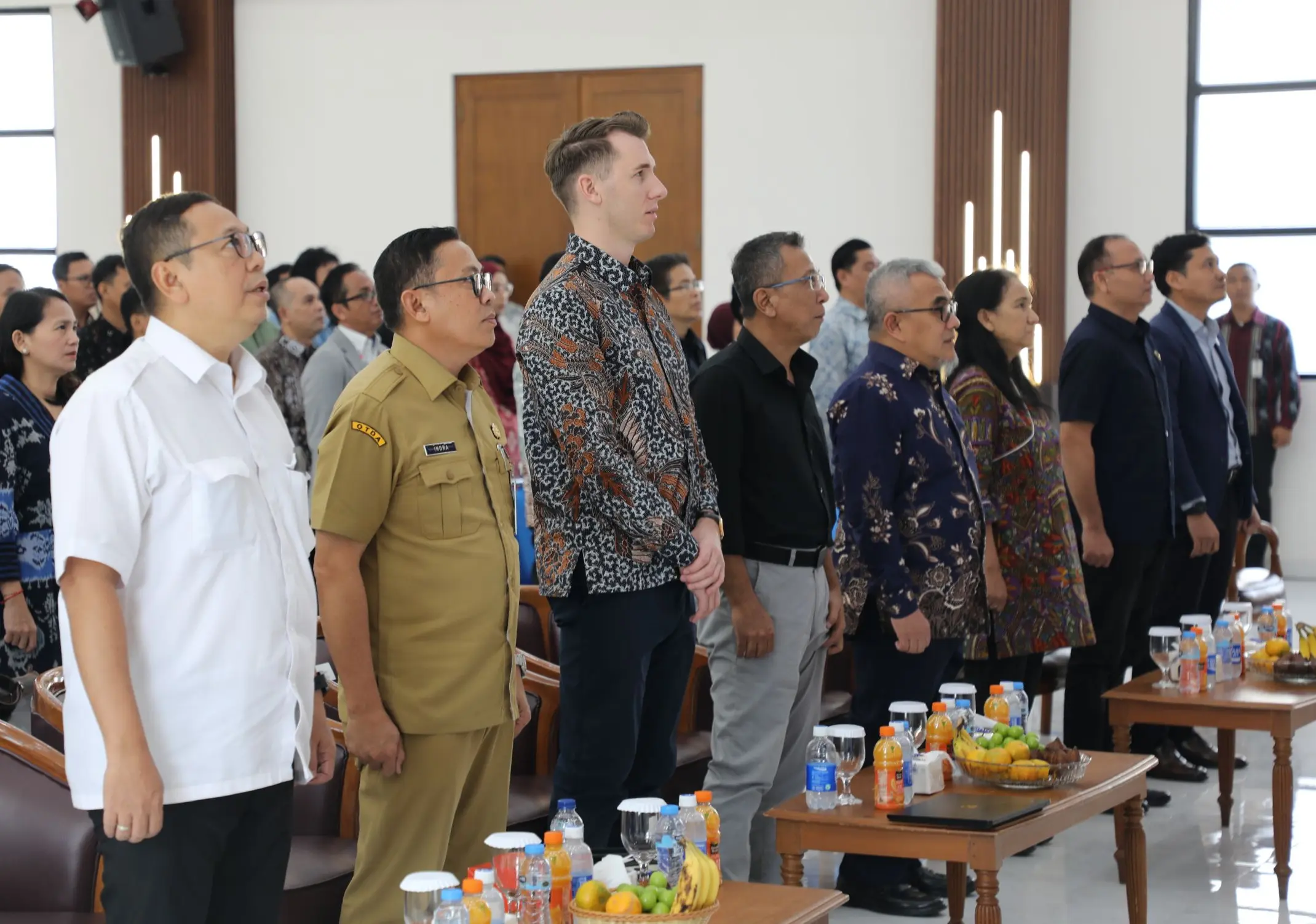
Piksel Launch: A National Platform for Integrated Satellite Imagery Processing

The Geospatial Information Agency (BIG) officially launched Piksel at BIG's Bhumandala Hall on August 18, 2026. Representatives from government ministries and agencies, universities, and BIG officials and staff attended the launch. Piksel is a national platform for integrated remote sensing data processing and analysis, designed to meet the need for large-scale satellite imagery use. It supports researchers, analysts, and other stakeholders in accessing, processing, and exploring remote sensing data.