·3 min read
From Hotspots to Burn Scars: Reading the Changes at Bromo
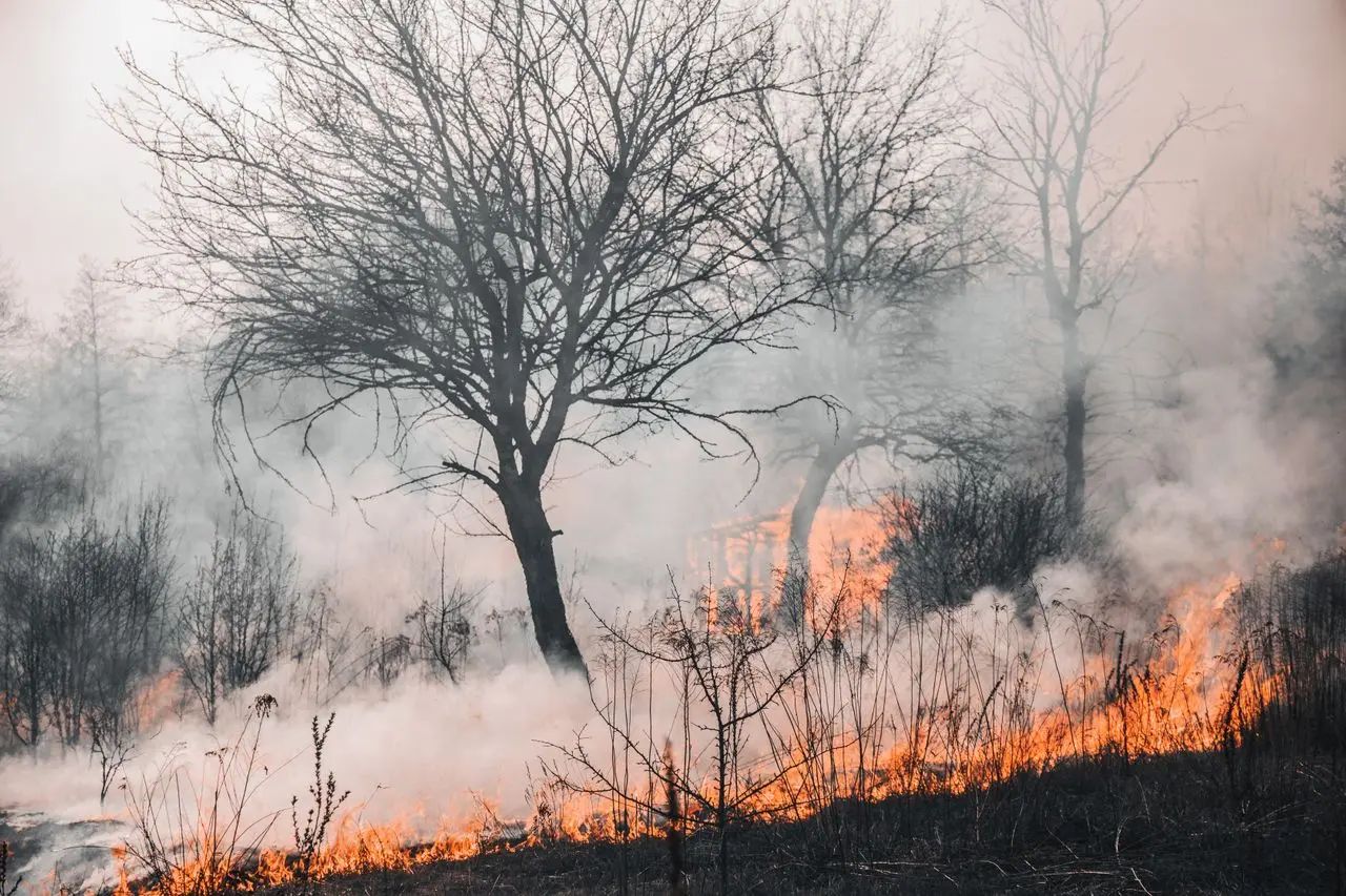
The fire that swept through the Bromo area left a mark readable from space. Using remote sensing data, changes to the area can be observed not only by comparing conditions before and after the event, but also by tracking the pattern of thermal activity over time. Through Piksel, Sentinel-2 imagery and hotspot data from VIIRS (Visible Infrared Imaging Radiometer Suite) are combined to build a picture of where the fire occurred, when activity was detected, and how the landscape changed.