Data Products
Available Products
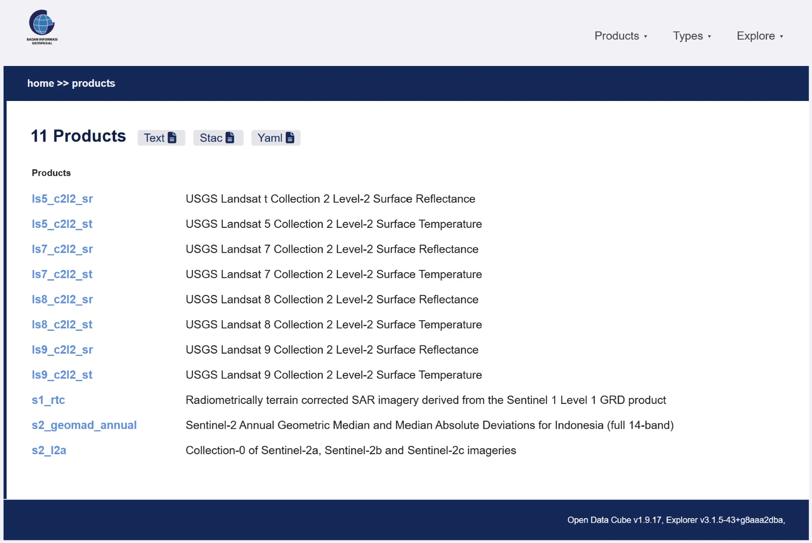
Data Explorer includes satellite data products from several optical and radar missions.
Landsat Family (USGS)
Landsat Collection 2 Level-2 imagery is available in two variants for each satellite: Surface Reflectance (sr) for surface reflectance analysis and Surface Temperature (st) for monitoring land surface temperature.
| Product | Description |
|---|---|
ls5_c2l2_sr | Landsat 5 — Surface Reflectance |
ls5_c2l2_st | Landsat 5 — Surface Temperature |
ls7_c2l2_sr | Landsat 7 — Surface Reflectance |
ls7_c2l2_st | Landsat 7 — Surface Temperature |
ls8_c2l2_sr | Landsat 8 — Surface Reflectance |
ls8_c2l2_st | Landsat 8 — Surface Temperature |
ls9_c2l2_sr | Landsat 9 — Surface Reflectance |
ls9_c2l2_st | Landsat 9 — Surface Temperature |
Sentinel Family (ESA)
The Sentinel products include optical and radar imagery from the European Space Agency, along with annual composites produced for Indonesia.
| Product | Description |
|---|---|
s1_rtc | Sentinel-1 — Terrain-corrected (RTC) SAR derived from Level-1 GRD |
s2_l2a | Sentinel-2 — Collections 2a, 2b and 2c |
s2_geomad_annual | Sentinel-2 — Annual Geometric Median and MAD composite (14 bands, Indonesia) |
Check the current catalogue
Visit the Data Explorer Products page for the current product list and technical metadata.