Landsat 8 Surface Temperature — Specifications
ls8_c2l2_st
- Technical name:
- Landsat 8 Collection 2 Level-2 Surface Temperature
- Version:
- 3.0.0
- Resolution:
- 30 m
- Coverage:
- April 2013 to present
- Data updates:
- Daily
BaselineRaster
About
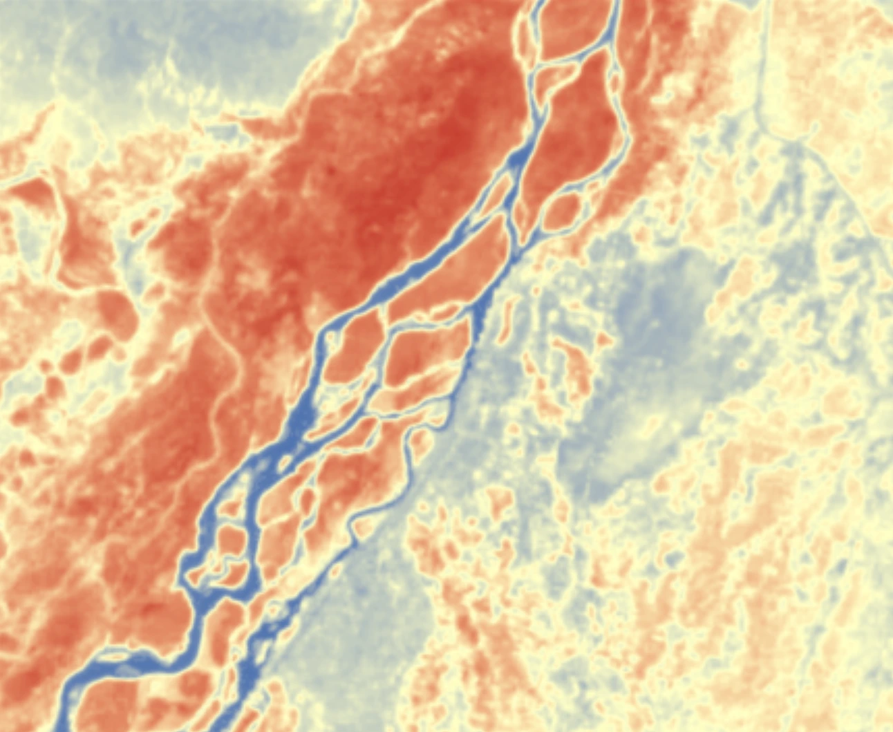
Landsat 8 Surface Temperature (Landsat 8) is part of Piksel's land surface temperature dataset series, which covers the thermal imagery archive from the US Geological Survey (USGS) Landsat satellite programme. This product is derived from the thermal infrared channel (Band 10) of the Thermal Infrared Sensor (TIRS) at 30-metre resolution. It has been validated, calibrated and adjusted for conditions in Indonesia, and is ready for monitoring urban heat islands, drought, vegetation stress and geothermal activity.
Bands
| Name | Type | Unit | No-data | Alias |
|---|---|---|---|---|
| lwir11 | uint16 | Kelvin | 0 | ST_B10, band_10, st, surface_temperature |
| TRAD | int16 | W/(m².sr.μm) | -9999 | ST_TRAD, trad, thermal_radiance |
| URAD | int16 | W/(m².sr.μm) | -9999 | ST_URAD, urad, upwell_radiance |
| DRAD | int16 | W/(m².sr.μm) | -9999 | ST_DRAD, drad, downwell_radiance |
| ATRAN | int16 | 1 | -9999 | ST_ATRAN, atran, atmospheric_transmittance |
| EMIS | int16 | 1 | -9999 | ST_EMIS, emis, emissivity |
| EMSD | int16 | 1 | -9999 | ST_EMSD, emsd, emissivity_stddev |
| CDIST | int16 | Kilometre | -9999 | ST_CDIST, cdist, cloud_distance |
| qa_pixel | uint16 | bit_index | 1 | QA_PIXEL, pq, pixel_quality |
| qa_radsat | uint16 | bit_index | 0 | QA_RADSAT, radsat, radiometric_saturation |
| qa | int16 | Kelvin | -9999 | ST_QA, st_qa, surface_temperature_quality |
Applications
- Monitoring urban heat islands and urban thermal conditions
- Detecting water stress in crops and estimating irrigation requirements
- Monitoring drought and soil moisture conditions
- Mapping volcanic activity and monitoring crater temperatures
- Identifying natural heat sources and geothermal activity
- Detecting and monitoring forest and land fires
- Analysing water temperatures in lakes, reservoirs and estuaries
- Analysing microclimates for regional planning