Landsat 7 Surface Temperature — Specifications
- Technical name:
- Landsat 7 Collection 2 Level-2 Surface Temperature
- Version:
- 3.0.0
- Resolution:
- 30 m
- Coverage:
- June 1999 to January 2024
- Data updates:
- No further updates
About
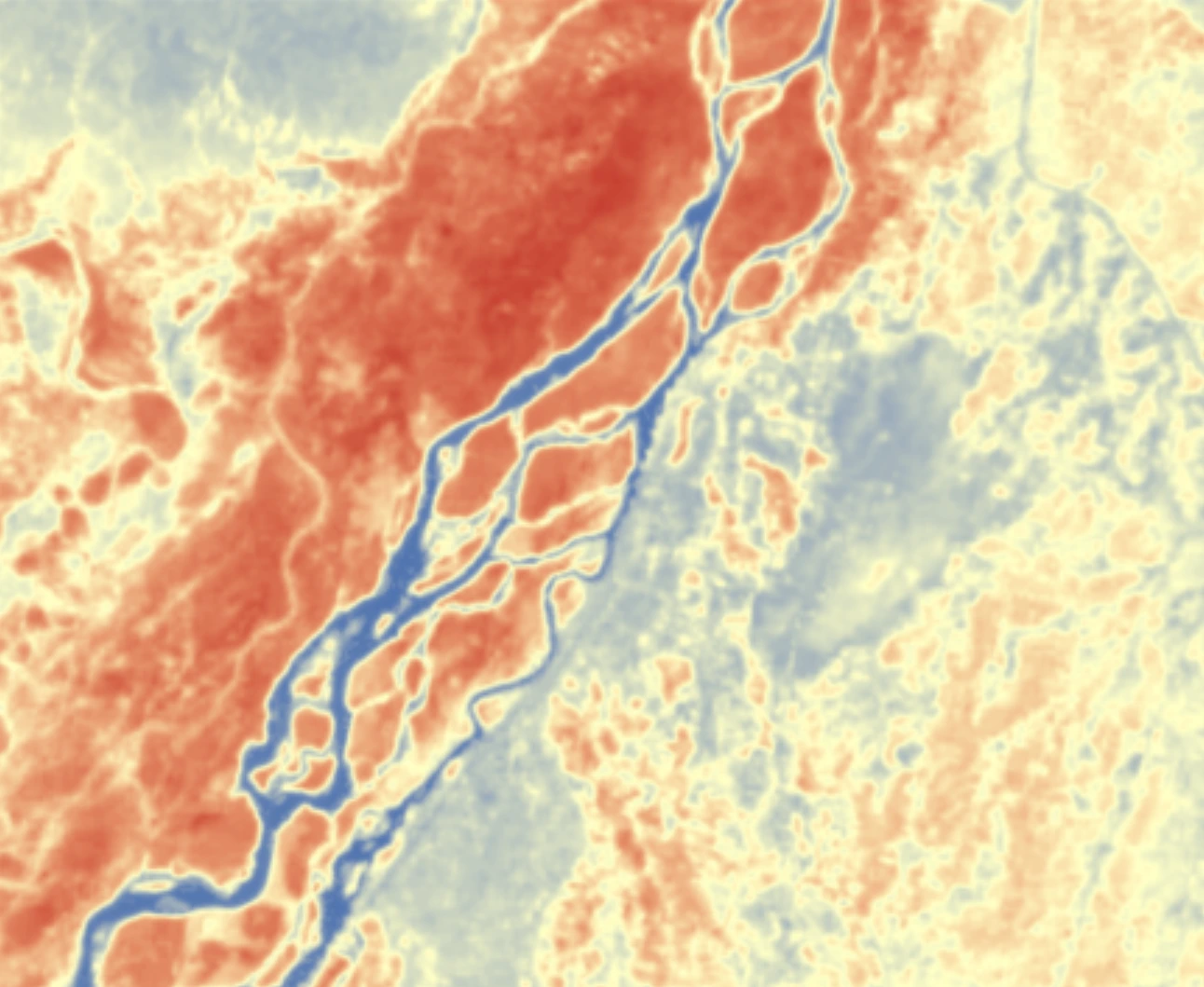
Landsat 7 Surface Temperature (Landsat 7) provides 30-metre-resolution estimates of land surface temperature derived from the thermal infrared channel (Band 6) of the Enhanced Thematic Mapper Plus (ETM+) sensor. Covering nearly 25 years of operation from 1999 to 2024, the dataset is one of the longest thermal records available for time-series monitoring. It is suited to monitoring urban heat islands, drought, vegetation stress and geothermal activity around the world.
The ETM+ sensor's Scan Line Corrector (SLC) failed on 31 May 2003. Scenes acquired after that date contain diagonal data gaps, with approximately 22% of pixels missing from each scene. Data acquired before that date is unaffected and remains well suited to long-term time-series analysis.
Bands
| Name | Type | Unit | No-data | Alias |
|---|---|---|---|---|
| lwir | uint16 | Kelvin | 0 | ST_B6, band_6, st, surface_temperature |
| TRAD | int16 | W/(m².sr.μm) | -9999 | ST_TRAD, trad, thermal_radiance |
| URAD | int16 | W/(m².sr.μm) | -9999 | ST_URAD, urad, upwell_radiance |
| DRAD | int16 | W/(m².sr.μm) | -9999 | ST_DRAD, drad, downwell_radiance |
| ATRAN | int16 | 1 | -9999 | ST_ATRAN, atran, atmospheric_transmittance |
| EMIS | int16 | 1 | -9999 | ST_EMIS, emis, emissivity |
| EMSD | int16 | 1 | -9999 | ST_EMSD, emsd, emissivity_stddev |
| CDIST | int16 | Kilometre | -9999 | ST_CDIST, cdist, cloud_distance |
| qa_pixel | uint16 | bit_index | 1 | QA_PIXEL, pq, pixel_quality |
| qa_radsat | uint16 | bit_index | 0 | QA_RADSAT, radsat, radiometric_saturation |
| qa | int16 | Kelvin | -9999 | ST_QA, st_qa, surface_temperature_quality |
Applications
- Monitoring urban heat islands and urban thermal conditions
- Detecting water stress in crops and estimating irrigation requirements
- Monitoring drought and soil moisture conditions
- Mapping volcanic activity and monitoring crater temperatures
- Identifying natural heat sources and geothermal activity
- Detecting and monitoring forest and land fires
- Analysing water temperatures in lakes, reservoirs and estuaries
- Analysing microclimates for regional planning