Landsat 5 Surface Temperature — Specifications
ls5_c2l2_st
- Technical name:
- Landsat 5 Collection 2 Level-2 Surface Temperature
- Version:
- 3.0.0
- Resolution:
- 30 m
- Coverage:
- August 1986 to November 2011
- Data updates:
- No further updates
BaselineRaster
About
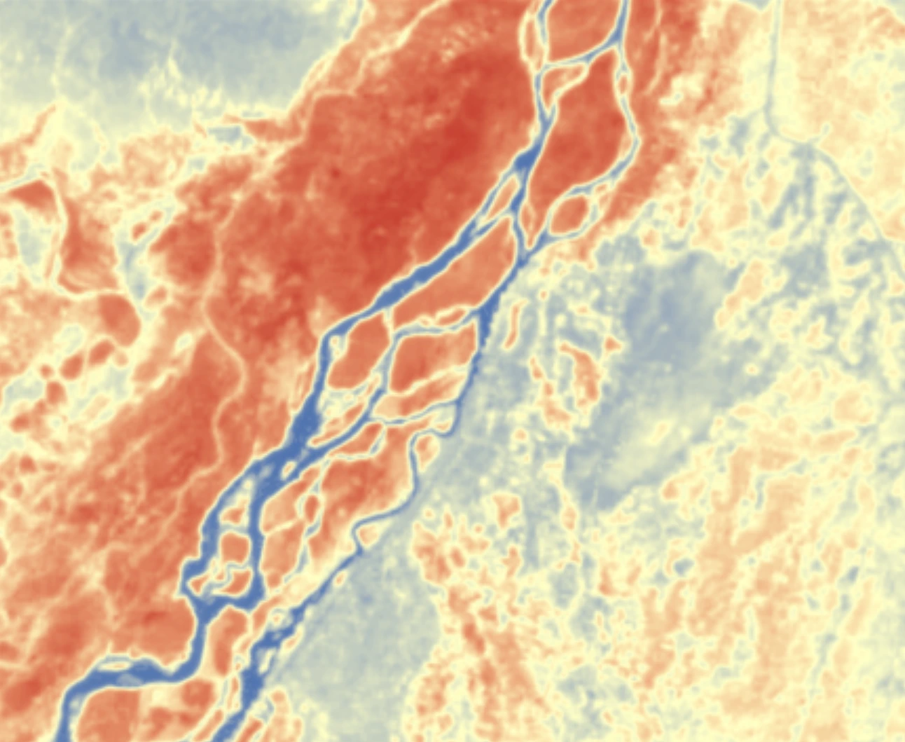
Landsat 5 Surface Temperature comprises land surface temperature datasets derived from Landsat 5, the remote-sensing satellite that holds the Guinness World Record for the longest-running Earth observation mission. Over nearly 29 years of operation, ending in 2013, Landsat 5 orbited the planet more than 150,000 times and transmitted 2.5 million images of land surfaces worldwide. This product is derived from the thermal infrared channel (Band 6) of the Thematic Mapper (TM) sensor at 30-metre resolution. It is an important resource for monitoring urban heat islands, drought, vegetation stress and geothermal activity around the world.
Bands
| Name | Type | Unit | No-data | Alias |
|---|---|---|---|---|
| lwir | uint16 | Kelvin | 0 | ST_B6, band_6, st, surface_temperature |
| TRAD | int16 | W/(m².sr.μm) | -9999 | ST_TRAD, trad, thermal_radiance |
| URAD | int16 | W/(m².sr.μm) | -9999 | ST_URAD, urad, upwell_radiance |
| DRAD | int16 | W/(m².sr.μm) | -9999 | ST_DRAD, drad, downwell_radiance |
| ATRAN | int16 | 1 | -9999 | ST_ATRAN, atran, atmospheric_transmittance |
| EMIS | int16 | 1 | -9999 | ST_EMIS, emis, emissivity |
| EMSD | int16 | 1 | -9999 | ST_EMSD, emsd, emissivity_stddev |
| CDIST | int16 | Kilometre | -9999 | ST_CDIST, cdist, cloud_distance |
| qa_pixel | uint16 | bit_index | 1 | QA_PIXEL, pq, pixel_quality |
| qa_radsat | uint16 | bit_index | 0 | QA_RADSAT, radsat, radiometric_saturation |
| qa | int16 | Kelvin | -9999 | ST_QA, st_qa, surface_temperature_quality |
Applications
- Monitoring urban heat islands and urban thermal conditions
- Detecting water stress in crops and estimating irrigation requirements
- Monitoring drought and soil moisture conditions
- Mapping volcanic activity and monitoring crater temperatures
- Identifying natural heat sources and geothermal activity
- Detecting and monitoring forest and land fires
- Analysing water temperatures in lakes, reservoirs and estuaries
- Analysing microclimates for regional planning