Landsat 8 Surface Reflectance — Specifications
ls8_c2l2_sr
- Technical name:
- Landsat 8 Collection 2 Level-2 Surface Reflectance
- Version:
- 3.0.0
- Resolution:
- 15–30 m
- Coverage:
- 19 March 2013 to present
- Data updates:
- Daily
BaselineRaster
About
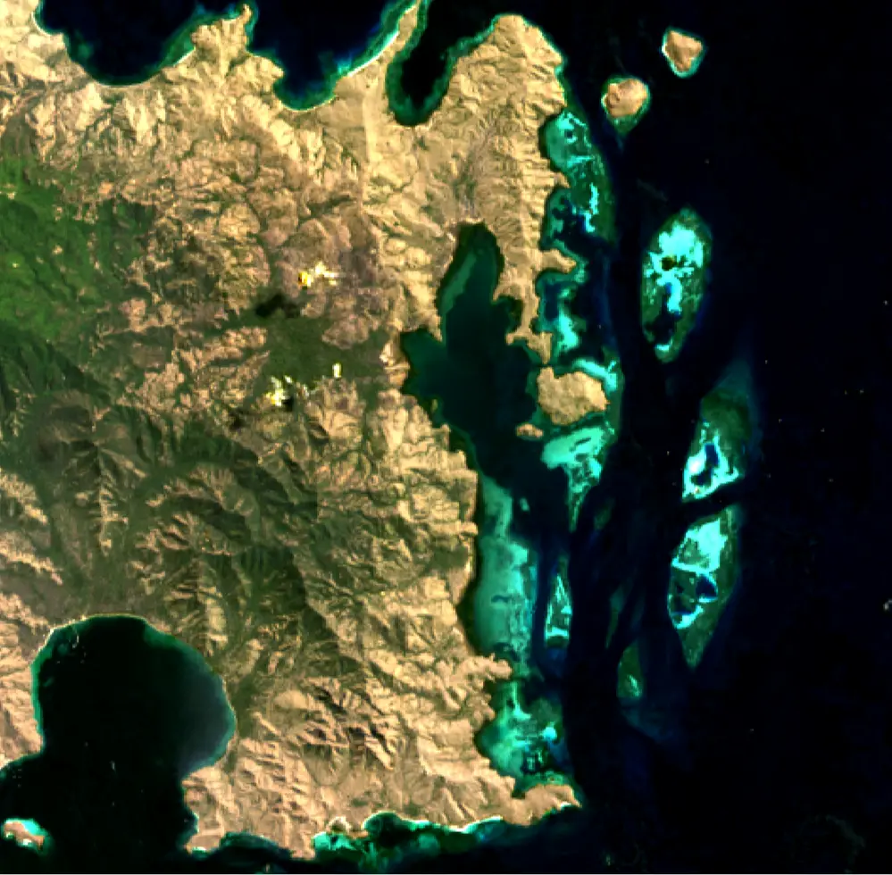
Landsat 8 Surface Reflectance (Landsat 8) provides 30-metre surface reflectance data from the Operational Land Imager (OLI) sensor, with an additional 15-metre panchromatic band for pan-sharpening. Launched in February 2013, Landsat 8 introduced two new bands compared with Landsat 7: a coastal/aerosol band (Band 1) for coastal zone studies and a cirrus band (Band 9) for detecting thin cloud. Surface reflectance is derived using the Land Surface Reflectance Code (LaSRC) algorithm, which applies atmospheric correction to produce data ready for vegetation analysis, land-cover analysis and change detection.
Bands
| Name | Type | Unit | No-data | Alias |
|---|---|---|---|---|
| coastal | uint16 | 1 | 0 | SR_B1, band_1, coastal_aerosol |
| blue | uint16 | 1 | 0 | SR_B2, band_2 |
| green | uint16 | 1 | 0 | SR_B3, band_3 |
| red | uint16 | 1 | 0 | SR_B4, band_4 |
| nir08 | uint16 | 1 | 0 | SR_B5, band_5 |
| swir16 | uint16 | 1 | 0 | SR_B6, band_6, swir_1 |
| swir22 | uint16 | 1 | 0 | SR_B7, band_7, swir_2 |
| qa_pixel | uint16 | bit_index | 1 | pixel_qa, pq, pixel_quality |
| qa_radsat | uint16 | bit_index | 0 | QA_RADSAT, radsat, radiometric_saturation |
| qa_aerosol | uint8 | bit_index | 1 | SR_QA_AEROSOL, qa_aerosol, aerosol_qa |
Applications
- Development of derived products for monitoring land, inland waters and coastal features, including:
- urban growth
- coastal habitats
- mining activities
- agricultural activity (for example, livestock farming and irrigated or rainfed agriculture)
- water extent
- Development of detailed information products, including:
- measurements of detected surface-water extent
- measurements of deforestation extent
- crop-yield estimates
- Compliance surveys
- Emergency management