Landsat 5 Surface Reflectance — Specifications
ls5_c2l2_sr
- Technical name:
- Landsat 5 Collection 2 Level-2 Surface Reflectance
- Version:
- 3.0.0
- Resolution:
- 30 m
- Coverage:
- 1 March 1984 to 5 June 2013
- Data updates:
- No further updates
BaselineRaster
About
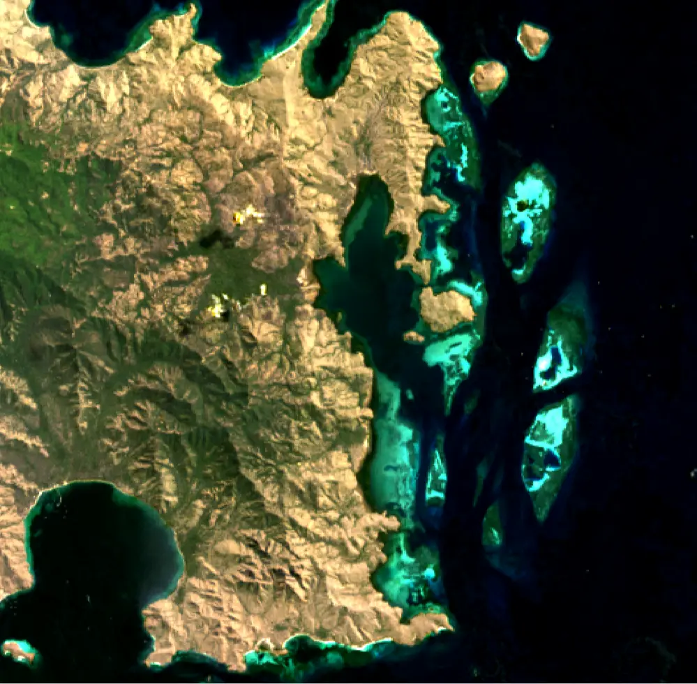
Landsat 5 Surface Reflectance comprises datasets from Landsat 5, the remote-sensing satellite that holds the Guinness World Record for the longest-running Earth observation mission. Over nearly 29 years of operation, ending in 2013, Landsat 5 orbited the planet more than 150,000 times and transmitted 2.5 million images of land surfaces worldwide. The 30-metre imagery from its Thematic Mapper (TM) sensor supports global monitoring of deforestation, disasters and land-use change. Surface reflectance is derived using the Landsat Ecosystem Disturbance Adaptive Processing System (LEDAPS) algorithm, which corrects for atmospheric scattering and absorption.
Bands
| Name | Type | Unit | No-data | Alias |
|---|---|---|---|---|
| blue | uint16 | 1 | 0 | SR_B1, band_1 |
| green | uint16 | 1 | 0 | SR_B2, band_2 |
| red | uint16 | 1 | 0 | SR_B3, band_3 |
| nir08 | uint16 | 1 | 0 | SR_B4, band_4, nir |
| swir16 | uint16 | 1 | 0 | SR_B5, band_5, swir_1 |
| swir22 | uint16 | 1 | 0 | SR_B7, band_7, swir_2 |
| qa_pixel | uint16 | bit_index | 1 | QA_PIXEL, pq, pixel_quality |
| qa_radsat | uint16 | bit_index | 0 | QA_RADSAT, radsat, radiometric_saturation |
| atmos_opacity | int16 | 1 | -9999 | SR_ATMOS_OPACITY, atmos_opacity |
| cloud_qa | uint8 | bit_index | 0 | SR_CLOUD_QA |
Applications
- Development of derived products for monitoring land, inland waters and coastal features, including:
- urban growth
- coastal habitats
- mining activities
- agricultural activity (for example, livestock farming and irrigated or rainfed agriculture)
- water extent
- Development of detailed information products, including:
- measurements of detected surface-water extent
- measurements of deforestation extent
- crop-yield estimates
- Compliance surveys
- Emergency management