Landsat 7 Surface Reflectance — Specifications
ls7_c2l2_sr
- Technical name:
- Landsat 7 Collection 2 Level-2 Surface Reflectance
- Version:
- 3.0.0
- Resolution:
- 15–30 m
- Coverage:
- 15 April 1999 to 19 January 2024
- Data updates:
- No further updates
BaselineRaster
About
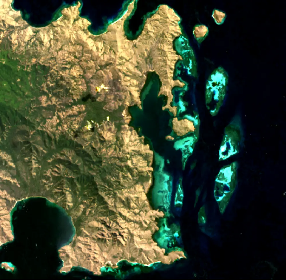
Landsat 7 Surface Reflectance (Landsat 7) provides 30-metre surface reflectance data from the Enhanced Thematic Mapper Plus (ETM+) sensor, with an additional 15-metre panchromatic band for pan-sharpening. It is designed specifically for scientific analysis and time-series monitoring. The Landsat Ecosystem Disturbance Adaptive Processing System (LEDAPS) algorithm corrects for atmospheric scattering and absorption, enabling more accurate change detection.
SLC-off since 31 May 2003
The ETM+ sensor's Scan Line Corrector (SLC) failed on 31 May 2003. Scenes acquired after that date contain diagonal data gaps, with about 22% of pixels missing from each scene. Data acquired before that date is unaffected and remains ideal for long-term time-series analysis.
Bands
| Name | Type | Unit | No-data | Alias |
|---|---|---|---|---|
| blue | uint16 | 1 | 0 | SR_B1, band_1 |
| green | uint16 | 1 | 0 | SR_B2, band_2 |
| red | uint16 | 1 | 0 | SR_B3, band_3 |
| nir08 | uint16 | 1 | 0 | SR_B4, band_4, nir |
| swir16 | uint16 | 1 | 0 | SR_B5, band_5, swir_1 |
| swir22 | uint16 | 1 | 0 | SR_B7, band_7, swir_2 |
| qa_pixel | uint16 | bit_index | 1 | QA_PIXEL, pq, pixel_quality |
| qa_radsat | uint16 | bit_index | 0 | QA_RADSAT, radsat, radiometric_saturation |
| atmos_opacity | int16 | 1 | -9999 | SR_ATMOS_OPACITY, atmos_opacity |
| cloud_qa | uint8 | bit_index | 0 | SR_CLOUD_QA |
Applications
- Development of derived products for monitoring land, inland waters and coastal features, including:
- urban growth
- coastal habitats
- mining activities
- agricultural activity (for example, livestock farming and irrigated or rainfed agriculture)
- water extent
- Development of detailed information products, including:
- measurements of detected surface-water extent
- measurements of deforestation extent
- crop-yield estimates
- Compliance surveys
- Emergency management