Sentinel-1 RTC — Specifications
- Technical name:
- Sentinel-1 Radiometrically Terrain Corrected (RTC) SAR
- Version:
- 1.0.0
- Resolution:
- 20 m
- Coverage:
- October 2014 to present
- Data updates:
- Daily
About
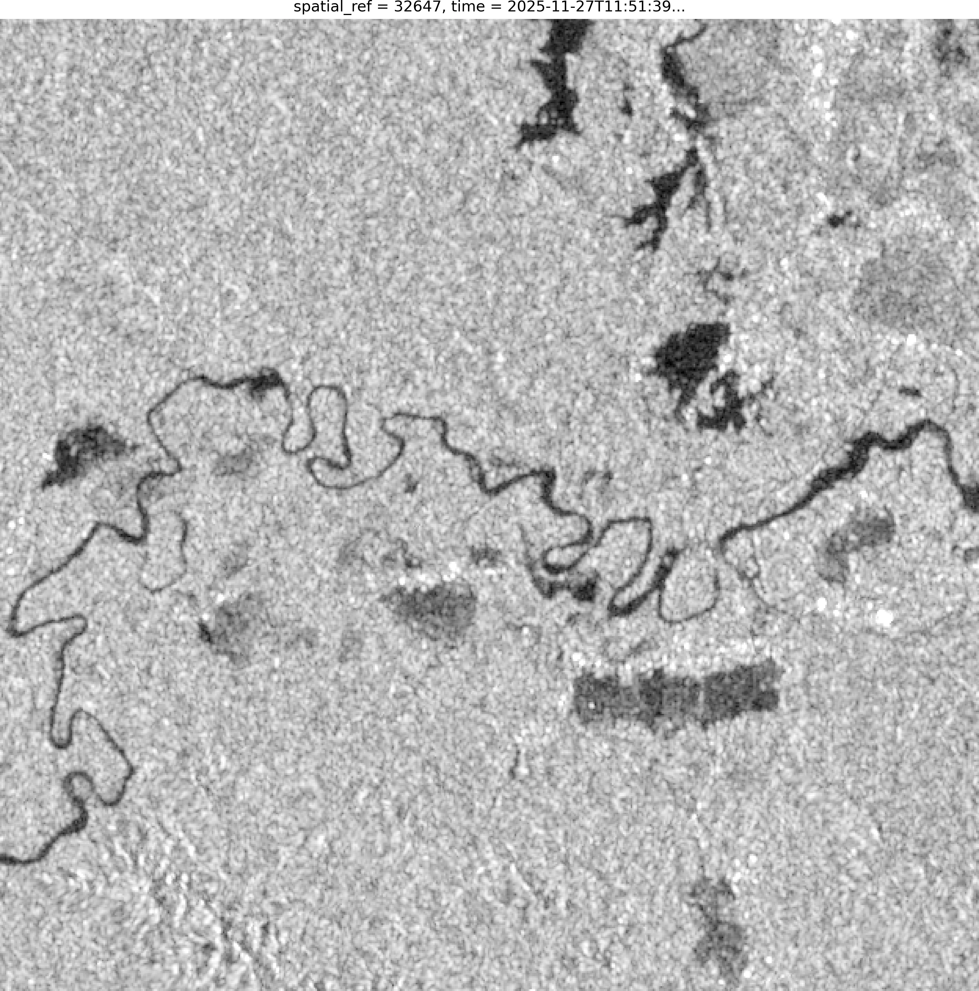
Sentinel-1 RTC (Radiometrically Terrain Corrected) is C-band synthetic aperture radar (SAR) imagery from the Sentinel-1 mission operated by the European Space Agency (ESA). Unlike optical sensors such as Landsat and Sentinel-2, SAR uses microwaves (~5.6 cm) that penetrate cloud, allowing it to operate in all weather, day or night. This makes it highly reliable across tropical Indonesia, where cloud cover is frequent.
This product is derived from Sentinel-1 Level-1 GRD (Ground Range Detected) data with full terrain correction, allowing backscatter (σ⁰) values to be compared consistently across scenes, time and topography.
Sentinel-1 C-band radar is unaffected by cloud or darkness. This is a major advantage when monitoring hydrometeorological disasters such as floods and landslides in tropical regions often covered by thick cloud, where optical imagery is usually unusable.
Bands
Sentinel-1 acquires data in dual-polarisation mode. Each scene generally contains two active channels, such as VV+VH or HH+HV, depending on the operating mode used in the region.
| Name | Type | Unit | No-data | Alias |
|---|---|---|---|---|
| vv | float32 | 1 | -32768.0 | VV |
| vh | float32 | 1 | -32768.0 | VH |
| hh | float32 | 1 | -32768.0 | HH |
| hv | float32 | 1 | -32768.0 | HV |
Applications
- Mapping floods and areas affected by hydrometeorological disasters
- Detecting deforestation and changes in forest cover
- Monitoring wetlands, mangroves and coastal ecosystems
- Detecting vessels and maritime activity
- Estimating vegetation biomass and monitoring crop growth
- Analysing soil moisture
- Detecting landslides and ground movement
- Mapping burn scars after fires